
We combine advanced surveying techniques with powerful GIS (Geographic Information Systems) to deliver reliable data for projects of all scales—from infrastructure networks and urban development to heritage restoration and environmental studies.
Mapping the future with precision and insight
- Improved Planning – Accurate spatial data supports better land development and infrastructure decisions.
- Risk Reduction – Detects land issues early, minimizing construction risks and costly errors.
- Improve Efficiency – Precise mapping optimizes project execution, saving time and costs.
Why GIS & Surveying Services Matter?


Our Working Process
Every project we undertake is guided by commitment to quality, precision, and client trust. Our process ensures seamless execution and delivers exceptional results that stand the test of time
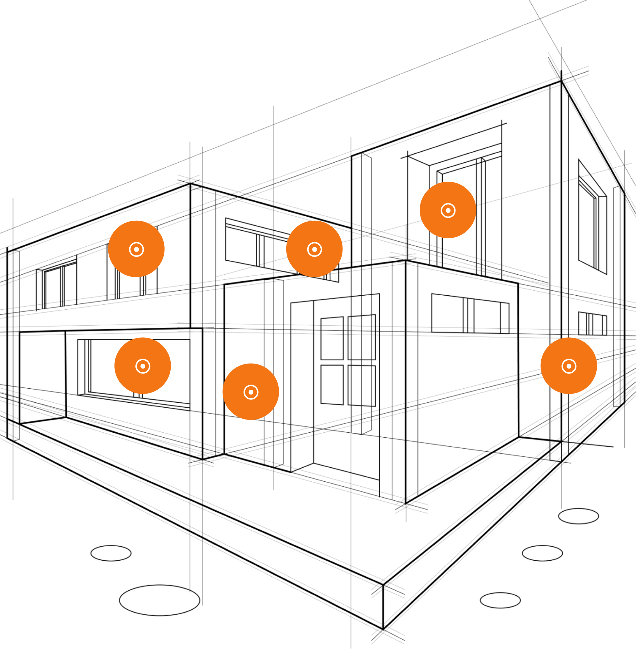
Data Collection & Field Surveying
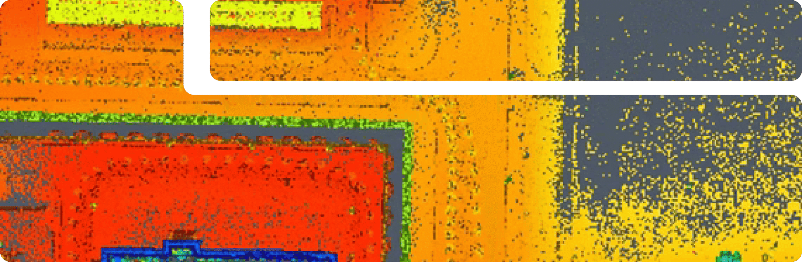
Using advanced GPS, LiDAR, and drone technology, we collect high-precision spatial and topographic data.
Analysis & Mapping
We process and analyze data through GIS software, creating detailed maps, 3D models, and geographic insights for planning.
Reporting & Decision Support
Our team delivers comprehensive reports, interactive maps, and expert recommendations to optimize project execution.
With clear planning, expert execution, and dedicated customer service, we ensure your vision becomes a reality.
Explore Our FAQ for construction insights
What industries benefit from GIS & Surveying services?
Our services support construction, real estate, infrastructure, environmental management, and urban planning projects.
How accurate is GIS & surveying technology?
We use high-precision equipment, satellite imagery, and GIS tools to provide detailed, reliable, and legally compliant spatial data.
Can GIS & Surveying help with
Yes, GIS is widely used to analyze terrain, detect environmental risks, and assist in sustainable planning.
What is the difference between GIS and traditional surveying?
Surveying provides precise land measurements, while GIS enhances this data with spatial analysis, mapping, and real-time decision-making tools